Журнали
-
-
Technological Complexes
Технологічні комплекси - наукове академічне рецензоване видання.
Спеціальності журналу:
131- Прикладна механіка;
151- Автоматизація та комп’ютерно-інтегровані технології. -
Наукові нотатки
Наукові нотатки - це фахове рецензоване видання категорії Б з відкритим доступом, яке публікує оглядові статті та результати оригінальних фундаментальних і прикладних наукових досліджень за напрямом "Механічна інженерія та машинобудування". Наукові праці публікуються за наступними спеціальностями:
- G8 Матеріалознавство;
- G9 Прикладна механіка;
- G11 Машинобудування (за спеціалізаціями)
-
СІЛЬСЬКОГОСПОДАРСЬКІ МАШИНИ
У журналі відображені науково-практичні проблеми агроінженерії, сільськогосподарського машинобудування та лісового господарства.
Журнал призначено для наукових працівників, викладачів, докторантів та аспірантів. -
Перспективні технології та прилади
Основні наукові спеціальності:
G5 Електроніка, електронні комунікації, приладобудування та радіотехніка;
G6 Інформаційно-вимірювальні технології;
G7 Автоматизація комп'ютерно-інтегровані технології та робототехніка;
-
СУЧАСНІ ТЕХНОЛОГІЇ В МАШИНОБУДУВАННІ ТА ТРАНСПОРТІ
В матеріалах наукового журналу висвітлюються результати наукових досліджень та науково-дослідних розробок в галузі машинобудування, автомобільного транспорту, транспортних систем і транспортних технологій на автомобільному транспорті, а також, математичного та комп’ютерного моделювання технічних процесів та систем.
Журнал розрахований на наукових працівників.
-
Сучасні технології та методи розрахунків у будівництві
Збірник наукових праць «Сучасні технології та методи розрахунків у будівництві» внесено до категорії «Б» Переліку наукових фахових видань України згідно з наказом Міністерства освіти і науки України №886 від 02.07.2020 р. Свідоцтво про реєстрацію КВ № 20340-10140Р від 31.05.2013 р.
Реєстр наукових фахових видань України
Збірник зареєстрований Національною радою України з питань телебачення та радіомовлення (Рішення № 40 від 11.01.2024). Ідентифікатор медіа – R30-02453.
Префікс DOI видавця: 10.36910
ISSN: 2410-6208 (друк)
Збірник публікує результати оригінальних фундаментальних і прикладних досліджень у межах кластеру G - «Промислові і будівельні технології, логістика, транспорт» (відповідно до Наказу Міністерства освіти і науки України від 19 січня 2026 року), за спеціальностями:
G17 – Архітектура та містобудування,
G18 – Геодезія та землеустрій,
G19 – Будівництво та цивільна інженерія.
Засновник та видавець: Луцький національний технічний університет
Код ЄДРПОУ: 05477296.
Рік заснування: 2013.
Покликання на збірник на сайті видавця: https://eforum.lntu.edu.ua/index.php/construction/uk/
Періодичність: 2 випуски на рік (червень, грудень).
Мова: українська, англійська.
Головний редактор: Олександр Валентинович АНДРІЙЧУК .
Усі матеріали поширюються на умовах Creative Commons Attribution 4.0 International Public License, що дозволяє іншим розповсюджувати рукопис з визнанням авторства роботи і першої публікації в цьому збірнику.
-
КОМП’ЮТЕРНО-ІНТЕГРОВАНІ ТЕХНОЛОГІЇ: ОСВІТА, НАУКА, ВИРОБНИЦТВО
Для того, щоб переглянути журнал натисніть ТУТ
-
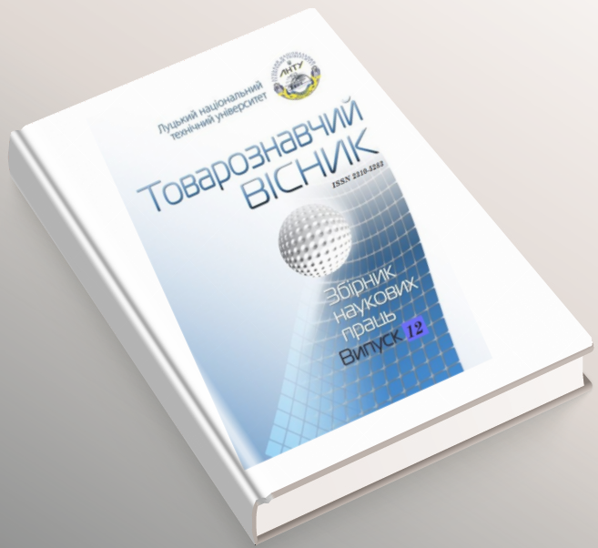
Товарознавчий вісник
Для того, щоб переглянути журнал натисніть ТУТ
-
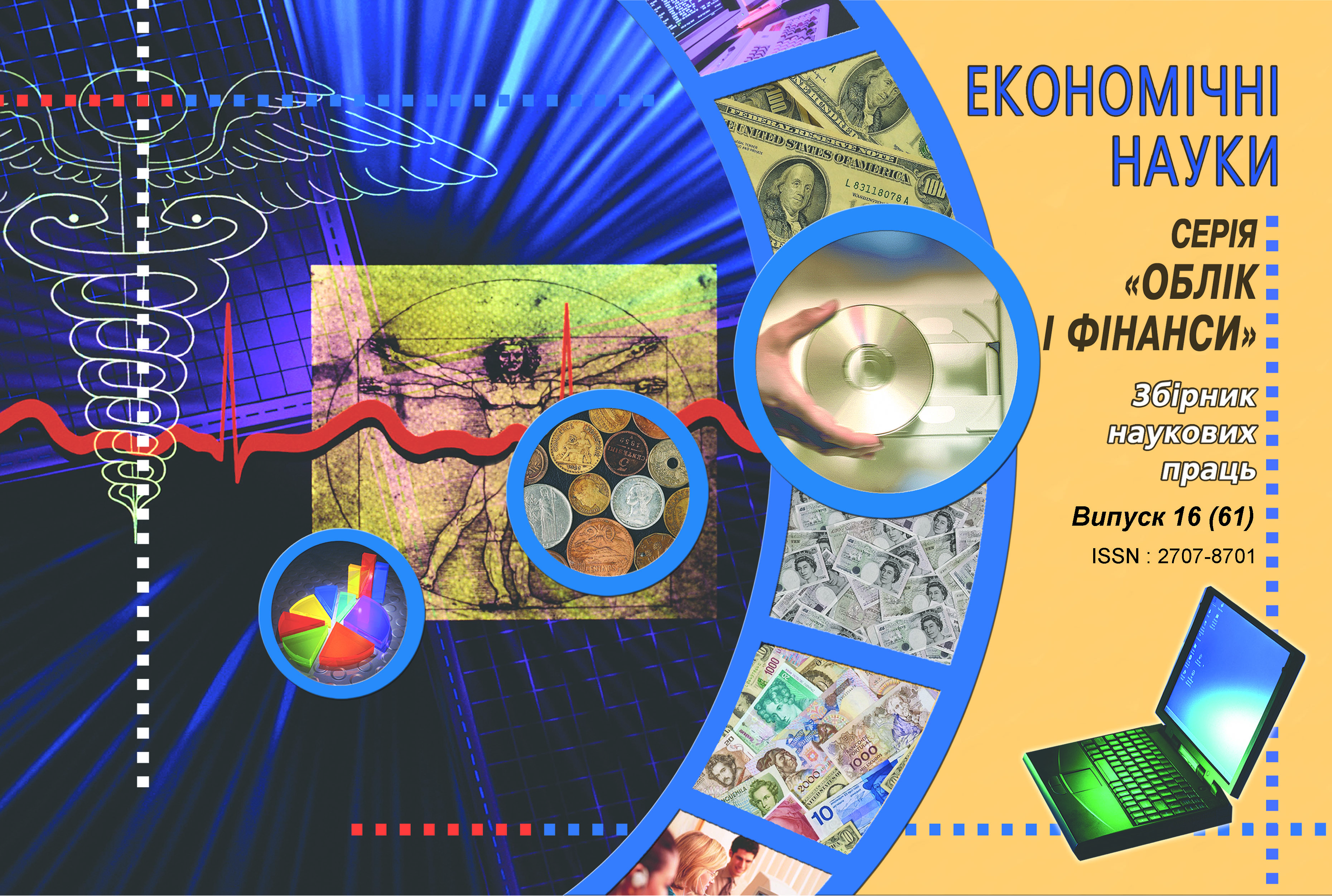
Економічні науки. Облік і фінанси
Для того, щоб переглянути журнал натисніть ТУТ
-
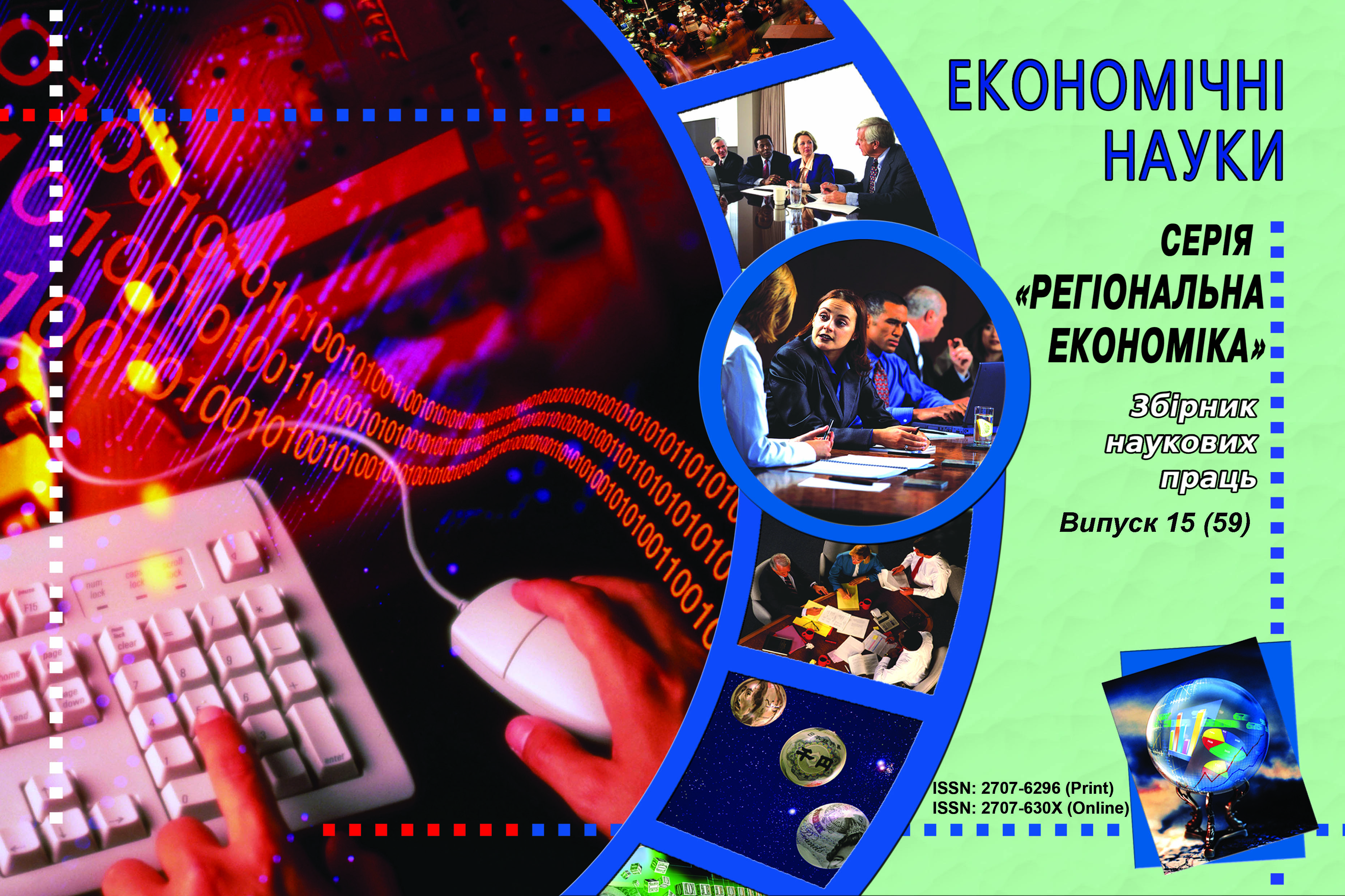
Економічні науки. Серія "Регіональна економіка"
Для того, щоб переглянути журнал натисніть ТУТ
-